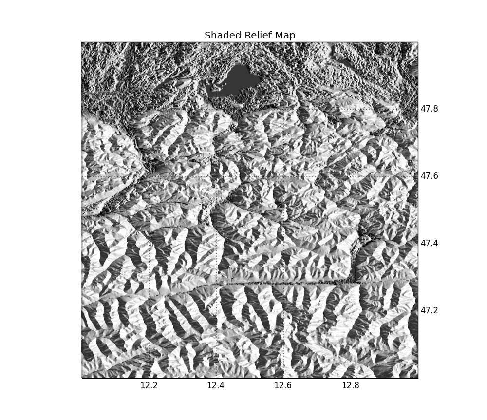
Today, we’ll combine different cool stuff: cartopy, Google Maps tiles, SRTM elevation data and shaded relief maps ! We will need cartopy (+ dependencies), which you can install from source, or from C. Gohlke’s prebuilt binaries for Windows users. The…